Drone Inspection & Data Services
Higher quality detailed inspections that won't break the bank
Who is Aerovue?
Learn who Aerovue is and what we do by watching the video below.


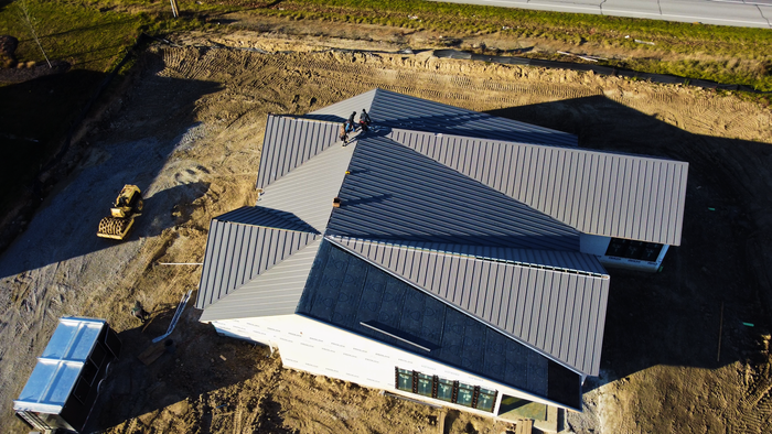
Building Inspections
Our drones are equipped with high-resolution cameras and sensors to safely and efficiently assess the structural integrity and condition of a building. This technology allows for accurate, detailed data collection, particularly in hard-to-reach areas, significantly improving inspection safety, speed, and accuracy.
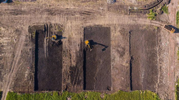
Drone Mapping
We capture aerial data and images which are then processed and stitched together to create detailed 2D maps or 3D models of the surveyed area. This technology enables efficient, precise, and comprehensive landscape analysis and terrain modeling, useful in various industries such as construction, agriculture, real estate, and environmental research.

Time Lapse
Capture images or video from consistent GPS coordinates and angles over a set period, which can then be compiled into a time-lapse video to visually depict changes and progress, such as the stages of a construction project or environmental changes in a specific area. Our ability to fly at consistent altitudes and locations, coupled with programmable flight paths, ensures precise, high-quality time-lapse creation.

Cinematic
We capture high-quality aerial footage, dynamic tracking shots, and unique perspectives that would be challenging or impossible with traditional camera setups. We can fly through narrow or difficult spaces, ascend great heights, or smoothly track moving subjects, offering new creative possibilities for storytelling and visual composition in films, documentaries, commercials, and music videos.
About Us
Aerovue Technology is a leading provider of drone inspection and mapping services, pioneering innovative solutions in the field of unmanned aerial technology. With an unwavering commitment to safety, accuracy, and efficiency, Aerovue utilizes state-of-the-art drones and advanced data analysis to deliver comprehensive and reliable inspection data.
Our services span various industries, from construction and real estate to environmental research and disaster response. We pride ourselves on our ability to provide clients with detailed, high-quality aerial data that streamlines decision-making and operations, ultimately reducing costs and improving outcomes.